
"We use suitable and effective geophysical methods to study subsurface conditions for locating and assessing groundwater resources and making their sources sustainable."
Geophysical survey work is conducted to understand subsurface geology and feasibility at various locations by identifying zones favorable for drilling bore wells, considering both production and recharge purposes.
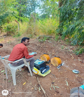
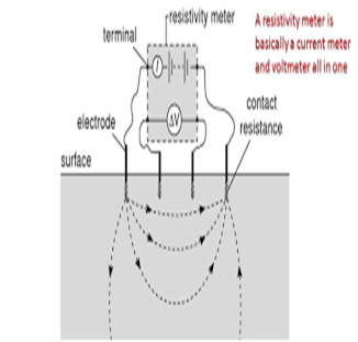
In the Schlumberger configuration, observations are made to obtain information on the variation of the physical field in the vertical section at a given location (VES - Vertical Electrical Sounding). The variation in the physical field is interpreted in terms of subsurface inhomogeneities, including variations in lithology, as well as the quantity and quality of water.
The electrical properties of most rocks primarily depend on the amount of water within them. Saturated rocks exhibit lower resistivity than unsaturated or dry rocks. The higher the porosity of a saturated rock, the lower its resistivity. The basis of making an electrical sounding is that the farther the potential measurement is taken from the current source, the deeper the probing will be.
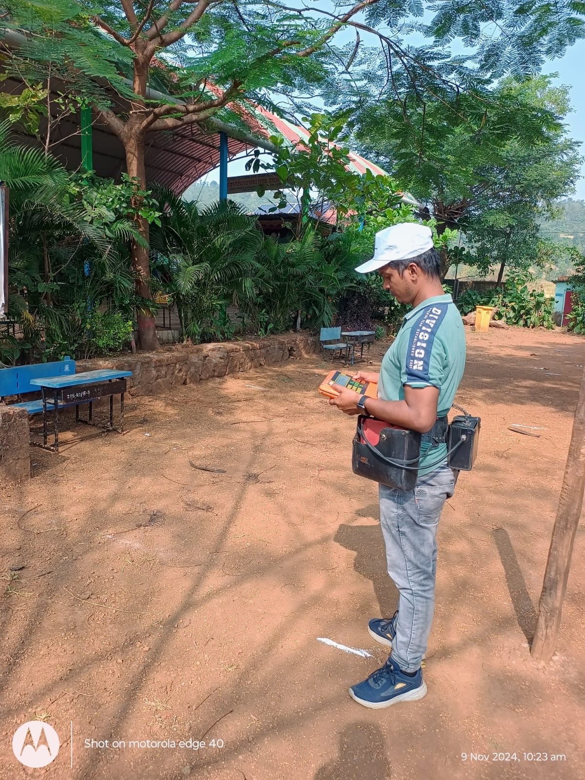
This surveying method utilizes the magnetic components of the electromagnetic field generated by long-distance radio transmitters in the VLF (Very Low Frequency) band, operating at 15-30 kHz. These transmitters, used for long-distance communication, generate a field that is locally affected by conductive structures on or beneath the surface, even when covered by thick overburden.
The instrument measures the distortion of the radio signal and displays the results directly on a screen. Typically, more than one profile is required to determine whether a structure is a suitable drilling target. Additional parallel profiles are conducted to assess if the zone is wide enough to provide a good yield.
4 ½ Inch & 6 ½ Inch Diameter Solutions
A borewell is a narrow shaft drilled to access underground resources like water, petroleum, or gas. It is crucial for areas with limited surface water, supporting sustainable supply and aquifer recharge through rainwater. Borewells are also used in geotechnical, environmental, and geothermal applications, as well as underground storage.
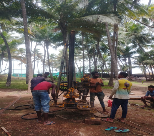
In borewell drilling, the terms 4 ½ inch and 6 ½ inch refer to the diameters of the borewell. Here’s what they mean:
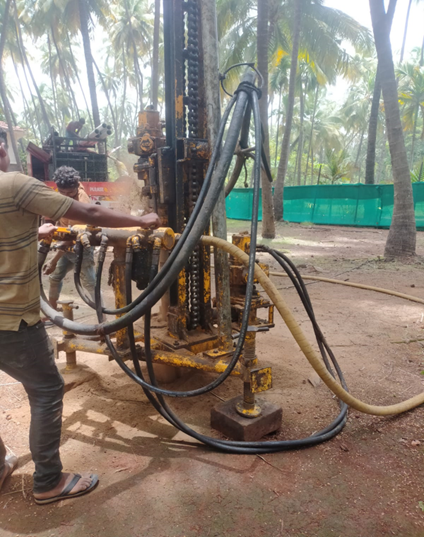
Borewells provide a consistent water source, essential for daily needs and agricultural activities, especially in water-scarce regions.
By tapping into underground water sources, borewells help conserve surface water and reduce dependency on external water supplies.
A functional borewell can enhance the value of your property by ensuring an independent, reliable water supply.
Ready to explore borewell drilling for your home or community building or industry ? Contact Green Arch Associates today for a free consultation and detailed estimate.
Reach us to know more